Check out the Roanoke weather forecast and radar below. We offer the regions only technology with 3D weather models and more accurate data than any other new outlet.

to help pay for my expenses which are listed below.
Can I submit weather to you?
You sure can! Use the button below to fill out a quick form and you can include an image or short video clip with your message. I will use them on my live streams and social media and when possible, I will give you a shout out!
What are your weather expenses? I thought the weather is FREE?
Well, it is FREE, but only to a point.
I have several weather subscriptions, online tools, and day-to-day ongoing expenses. Determine the weather is not a cheap venture, but through sponsorships for my weather maps or joining those that support me on Patreon, I am able to help the community.
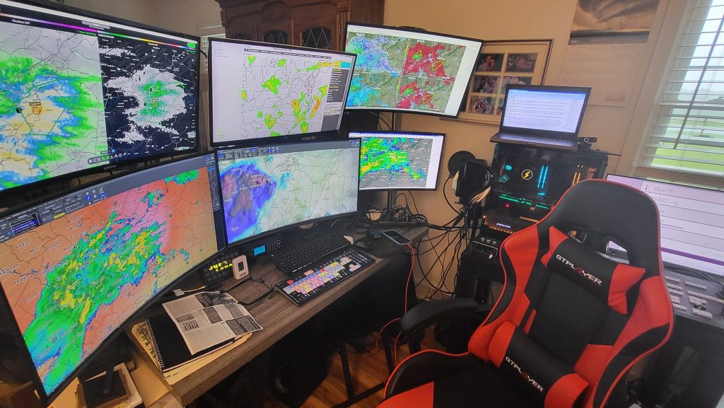
Forecasting the weather involves various costs that can be broken down into several categories:
1. Infrastructure Costs
- Weather Stations: Maintenance of ground-based weather stations that measure temperature, humidity, wind speed, and barometric pressure.
- VIPIR Radar Software: Software of weather radar to detect precipitation, such as rain, snow, and hail.
- Supercomputers: High-performance computing systems required to run complex weather models and simulations and I have several.
2. Data Collection Costs
- Observation Networks: Networks of weather stations, buoys, ships, and aircraft that continuously collect atmospheric data. There is a small cost with that.
- Satellite Data: Costs associated with purchasing or accessing satellite data, which often involves partnerships or licensing fees with private or governmental organizations.
- Global Data Integration: Gathering data from international sources and integrating them into global forecasting models.
3. Personnel Costs
- Meteorologists: I only take a small salary to help cover things like rent, utilities and the like.
- Technical Staff: I have a webmaster and IT professional who maintain and optimize the hardware and software infrastructure, including supercomputers and data systems.
4. Modeling and Forecasting Costs
- Weather Models: Development, testing, and maintenance of numerical weather prediction (NWP) models that simulate weather patterns. This includes costs for software and algorithms used to make predictions.
- Forecast Verification: Efforts to verify the accuracy of forecasts, including comparing predictions with observed outcomes, which helps improve the reliability of future forecasts.
- Operational Costs: Running these models in real time, which includes the computing resources and energy required to process vast amounts of data.
5. Communication and Dissemination Costs
- Broadcasting: Costs to broadcast weather information through Youtube, OBS Streaming, radio, and online platforms. This may include partnerships with media outlets, operational broadcasting equipment, and maintaining websites/apps.
- Public Alerts: Emergency alerts and notifications, especially during severe weather events, require communication infrastructure and staffing.
- Public Education: Campaigns to educate the public about understanding and responding to weather forecasts and warnings.
Overall, the cost of forecasting the weather is substantial, as it requires advanced technology, skilled personnel, and continuous funding for data collection and operational activities. These investments aim to deliver accurate forecasts to the public, which can have significant benefits in terms of safety, planning, and economic productivity.